Training on Remote Sensing for Biodiversity Conservation
Course Overview
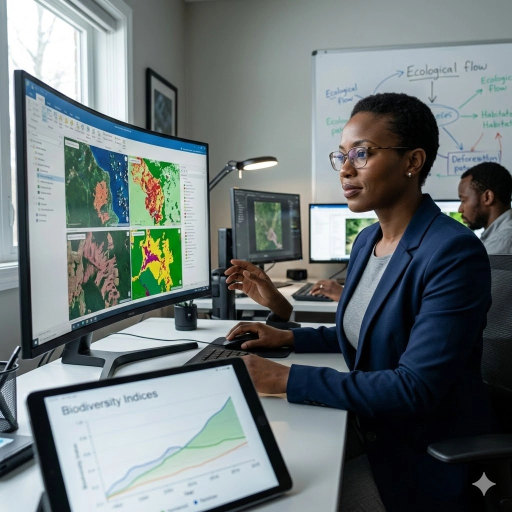
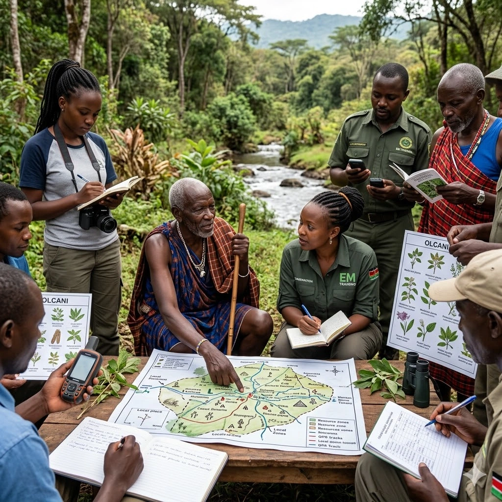
Remote Sensing for Biodiversity Conservation equips participants with the knowledge and practical skills to apply satellite, aerial, and drone-based imagery in biodiversity monitoring and ecosystem management. The course explores how remote sensing technologies support habitat assessment, species distribution analysis, land cover mapping, and long-term ecological monitoring.
Participants will gain hands-on experience in processing and analyzing imagery from leading Earth observation programs such as NASA and European Space Agency, as well as high-resolution aerial and UAV data. The training covers image classification, change detection, vegetation indices, habitat fragmentation analysis, and spatial modeling for conservation planning.
Through practical exercises and real-world case studies, attendees will learn how to integrate remote sensing with GIS tools to inform conservation strategies, monitor biodiversity trends, and support evidence-based environmental decision-making.
By the end of this 10-day course, participants will be able to design and implement remote sensing workflows for biodiversity conservation across various ecosystems and geographic scales.
Duration
10 Days
Who Should Attend
-
Conservation biologists and ecologists
-
Environmental scientists and researchers
-
GIS and remote sensing professionals
-
Natural resource managers
-
Wildlife managers and park rangers
-
NGO staff working in environmental conservation
-
Graduate students in environmental science, ecology, or related fields
-
Government agencies involved in biodiversity monitoring and management
Course Impact
Organisational Impact
-
Strengthens capacity to monitor and conserve biodiversity using advanced geospatial technologies.
-
Enhances decision-making in conservation planning through reliable, large-scale biodiversity data.
-
Reduces costs and time of traditional field surveys by integrating satellite, drone, and aerial data.
-
Supports sustainable ecosystem management and reporting for conservation projects.
-
Builds institutional expertise to track habitat changes, species distribution, and ecosystem health.
Personal Impact
-
Equips participants with practical skills in applying remote sensing to biodiversity monitoring.
-
Expands career opportunities in conservation, environmental management, and research.
-
Builds confidence in integrating geospatial data into conservation planning and reporting.
-
Provides hands-on experience with remote sensing tools and case studies in diverse ecosystems.
-
Empowers participants to actively contribute to protecting biodiversity and natural resources.
Course Objectives
By the end of this course, participants will be able to:
- Understand the fundamental principles of remote sensing and its applications in biodiversity conservation.
- Identify and acquire appropriate remote sensing data for biodiversity studies.
- Analyze satellite and drone imagery to monitor habitat changes and species distribution.
- Integrate remote sensing data with GIS for spatial analysis and conservation planning.
- Apply remote sensing techniques to assess ecosystem health and detect environmental changes.
- Utilize remote sensing tools to support conservation decision-making and policy formulation.
- Evaluate the effectiveness of remote sensing in tracking biodiversity indicators and targets.
- Implement case studies showcasing remote sensing applications in real-world conservation projects.
- Communicate findings from remote sensing analyses to stakeholders and policymakers.
- Develop strategies for advancing the use of remote sensing in biodiversity conservation initiatives.
Course Outline
Module 1: Introduction to Remote Sensing
- Fundamentals of remote sensing
- Types of remote sensing platforms (satellites, aircraft, drones)
- Electromagnetic spectrum and image acquisition
- Digital image processing basics
Module 2: Remote Sensing Data Acquisition and Preprocessing
- Data sources and selection
- Image preprocessing techniques (radiometric correction, atmospheric correction, geometric correction)
- Image formats and software
Module 3: Image Interpretation and Analysis
- Visual interpretation techniques
- Digital image analysis methods (image classification, segmentation, change detection)
- Object-based image analysis (OBIA)
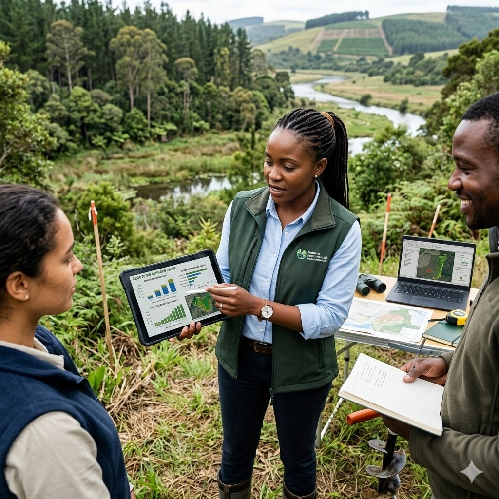
Module 4: Remote Sensing for Habitat Assessment
- Habitat mapping and classification
- Land cover and land use change analysis
- Vegetation indices and health assessment
Module 5: Remote Sensing for Species Distribution Modeling
- Species distribution modeling approaches
- Incorporating remote sensing data into species distribution models
- Habitat suitability analysis
Module 6: Remote Sensing for Biodiversity Monitoring
- Biodiversity indicators and metrics
- Long-term biodiversity monitoring using remote sensing
- Assessing the impact of human activities on biodiversity
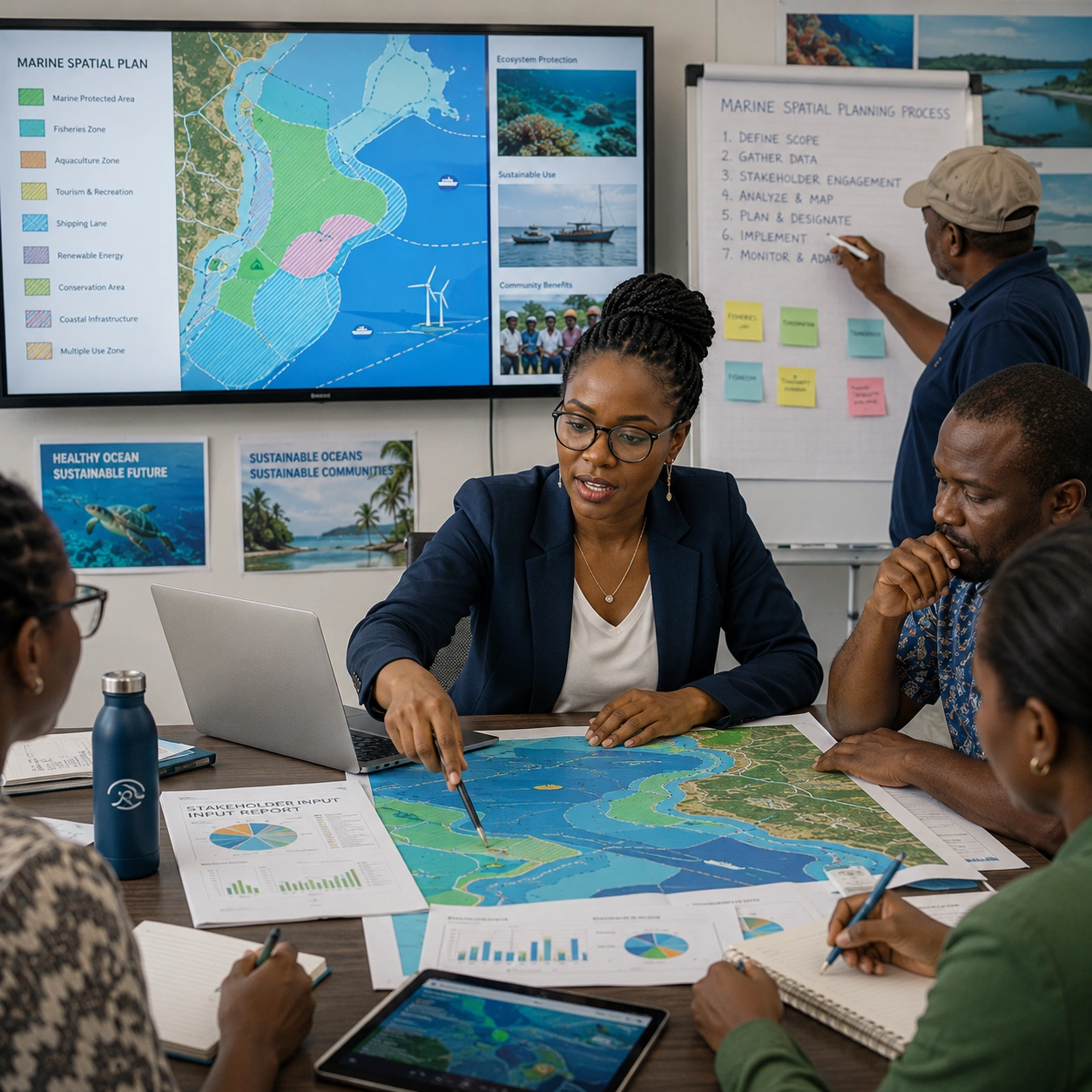
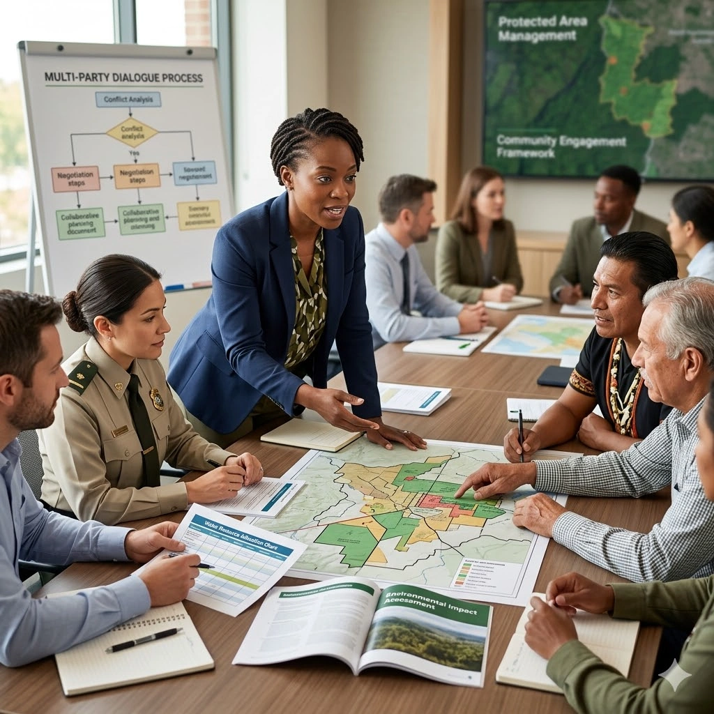
Module 7: Remote Sensing for Conservation Planning
- Protected area monitoring and management
- Habitat restoration and conservation planning
- Ecosystem services assessment
Module 8: Advanced Remote Sensing Techniques
- Hyperspectral imaging
- Lidar (Light Detection and Ranging)
- Radar remote sensing
Module 9: Remote Sensing and Citizen Science
- Engaging citizen scientists in data collection and analysis
- Crowd-sourced biodiversity monitoring using mobile devices and remote sensing
Module 10: Case Studies in Remote Sensing for Biodiversity Conservation
- Real-world examples of remote sensing applications
- Challenges and opportunities in biodiversity conservation using remote sensing
Prerequisites
Course Administration and Investment
Whether you join us in a physical boardroom or through our virtual campus, we’ve designed every administrative detail for a seamless, professional experience.
Our fees are all inclusive during course hours.
- Covered: High level tuition, comprehensive materials (digital + physical), mid morning and afternoon refreshments, a full executive lunch, and any scheduled study visits or site tours.
- Not covered: Travel, visa fees, medical/travel insurance, personal expenses, and accommodation.
From registration to the classroom, we keep things clear and efficient.
- Registration: Find your preferred schedule, click “Register,” complete the form, and submit. Need help? Talk to us directly.
- Pre Course Assessment: After registering, you’ll receive a diagnostic survey to help facilitators tailor content to your needs.
- Joining Instructions: Once fees are paid, you’ll receive a Delegate Welcome Pack at least 7 days before the start date (venue maps, virtual access links, and pre reading materials).
We provide premium environments optimized for adult learning and networking.
- Physical Venues: Premium 4 star and 5 star executive boardrooms across our global host cities, with high tier catering.
- Virtual Instructor Led Training (VILT): High definition, interactive platforms featuring breakout rooms, digital whiteboards, and live technical support.
- NITA and Regulatory Compliance: Administrative processes align with national training authorities.
You’ll leave with tools that extend the course value far beyond the final day.
- ForElite Learner Kit: A physical or digital course manual, proprietary templates, and a curated toolkit of industry standard SOPs.
- On Site / In App Support: Dedicated course coordinators handle technical, dietary, or logistical inquiries in real time.
We validate your commitment to excellence with internationally recognized credentials.
- Attendance Tracking: Rigorous daily logging to meet corporate and regulatory accreditation requirements.
- Verifiable Credentials: Upon successful completion, you receive a certificate of course completion.
Our relationship with you doesn’t end when the course closes.
- Feedback & ROI Reporting: Detailed post course evaluations to give sponsors clear insight into training impact.
- Alumni Network Access: Every delegate joins the ForElite Alumni Network for ongoing peer to peer learning and exclusive webinars.
When is the next intake?
UpdatedWe offer customized training solutions tailored to your organization's specific needs (location, dates, content and team size).
Talk to us and we’ll guide you on the best schedule and format for your team.
Training Methodology
We turn knowledge into results. Using our P.E.A.K. Framework (Prepare, Engage, Apply, Know), every participant leaves with practical skills they can use immediately.
Proven Impact
In the last 12 months, over 1,200 professionals have applied the P.E.A.K. Framework to reduce onboarding time by an average of 30% and accelerate project delivery across 14 industries.
The outcome: Participants don’t just learn. They gain the tools, confidence, and strategy to drive measurable impact.
Tailor-Made Training and Customization
Off-the-shelf solutions rarely fit perfectly. At ForElite Training Institute, we built our Tailor-Made Training (TMT) service to embed our expertise directly into your unique strategy, culture, and operations.
We replace generic examples with scenarios from your sector (e.g., public sector, NGOs, financial services, or logistics).
Choose a format that fits your operations: intensive 3 day bootcamps or weekly sessions that minimize work disruption.
We teach directly from your actual templates, brand guidelines, or financial reports.
Host your bespoke training in any of our 21+ global cities, or we'll send facilitators to your office anywhere in the world.
Course Reviews
Share your experience to help others choose the right course.
Leave a Review
Your review will be published after verification.
Most Recent Reviews
Showing the most recent reviews.
Training on Remote Sensing for Biodiversity Conservation FAQs
Quick answers to common questions about this course
You May Also Be Interested In
Explore more courses in this category
 Intermediate
 Intermediate
 Intermediate
 Intermediate
Intermediate
Intermediate
Intermediate
Intermediate
Intermediate
Intermediate
Intermediate
Intermediate

SECURE YOUR COMPETITIVE ADVANTAGE TODAY.
Subscribe to the Premier Intel newsletter for weekly market insights and training updates.
About Us


ForElite Training Institute is a global institutional capacity-building and EdTech partner that empowers organizations and professionals with transformative, high-impact learning.
Explore
Mastery Tracks
More Mastery Tracks
