Geospatial Technologies and Remote Sensing Courses
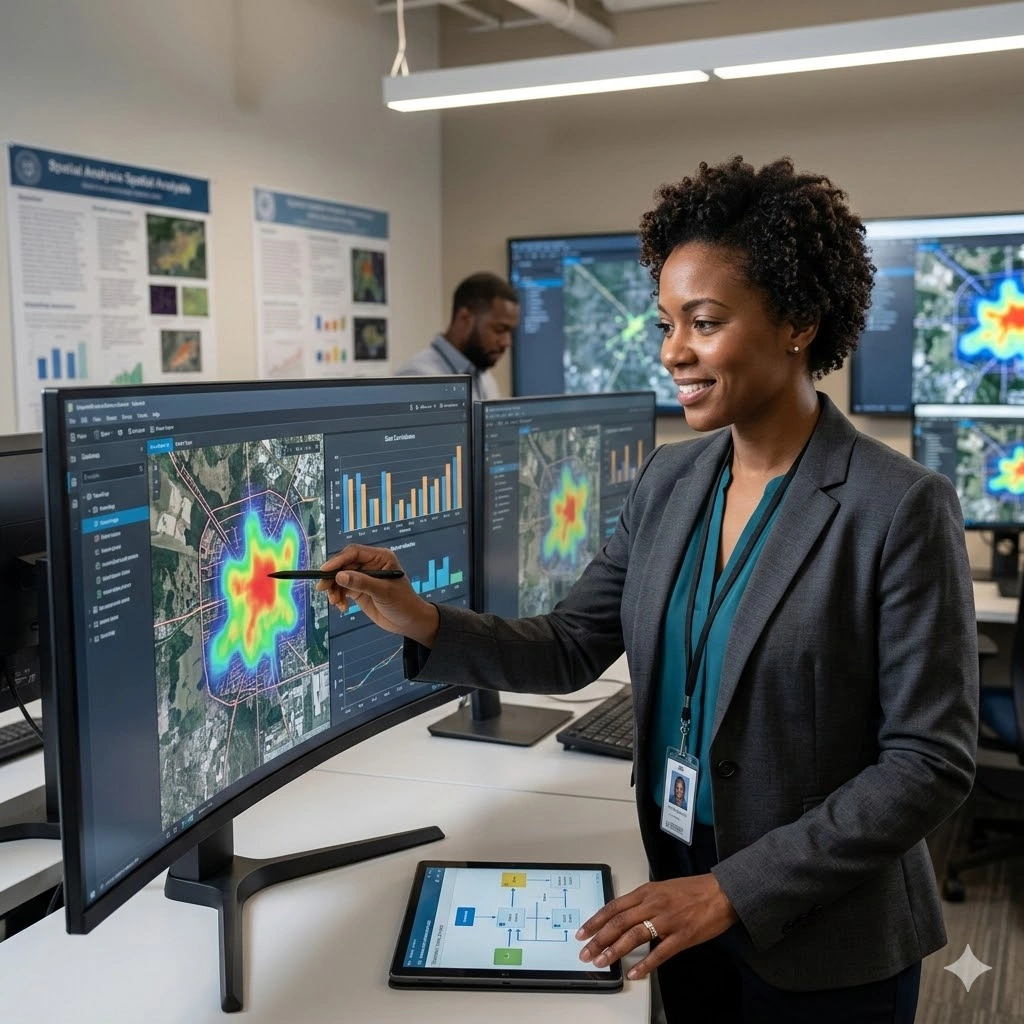
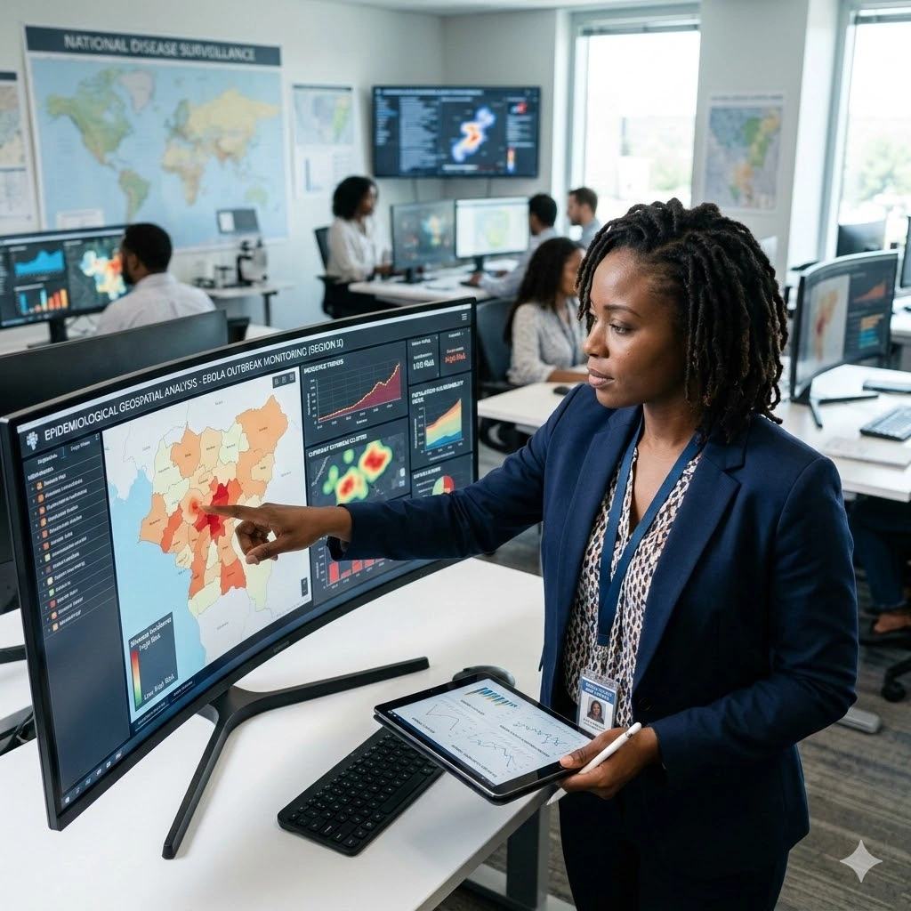
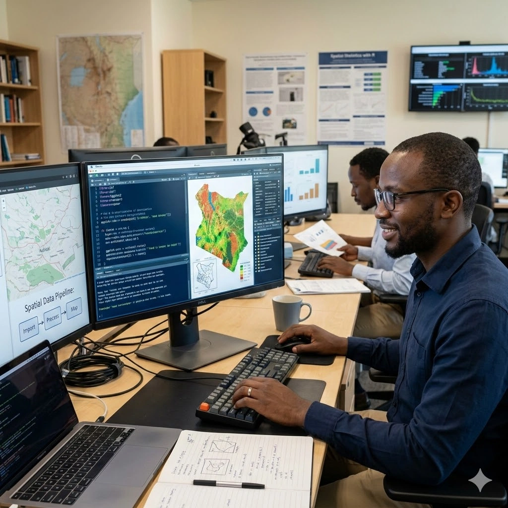
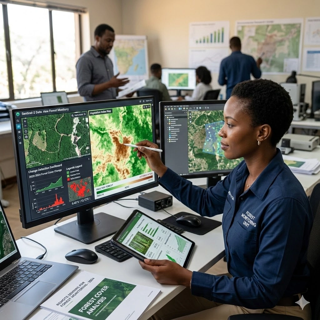
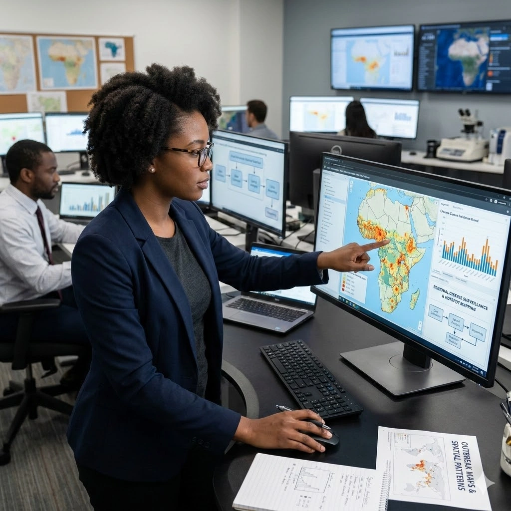
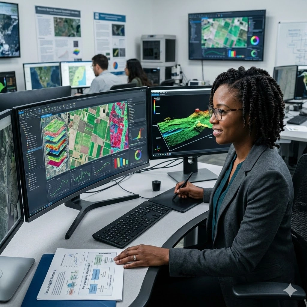
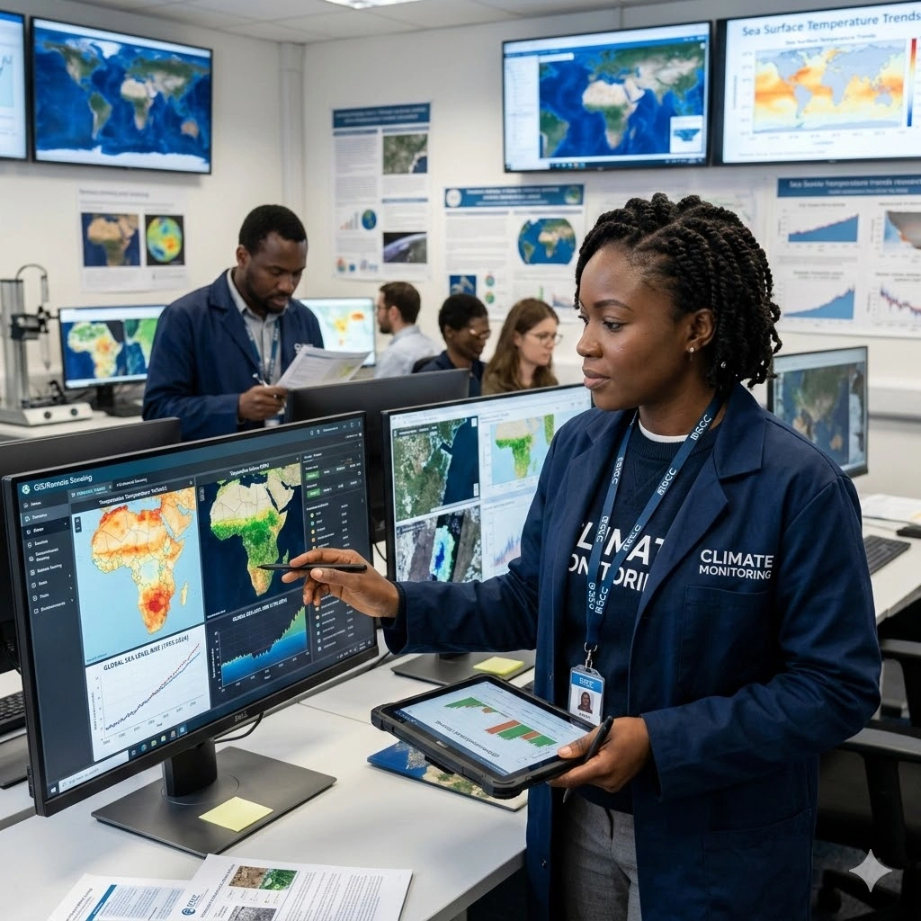
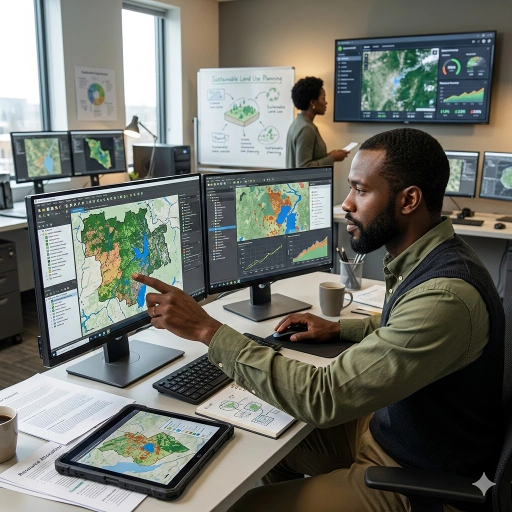
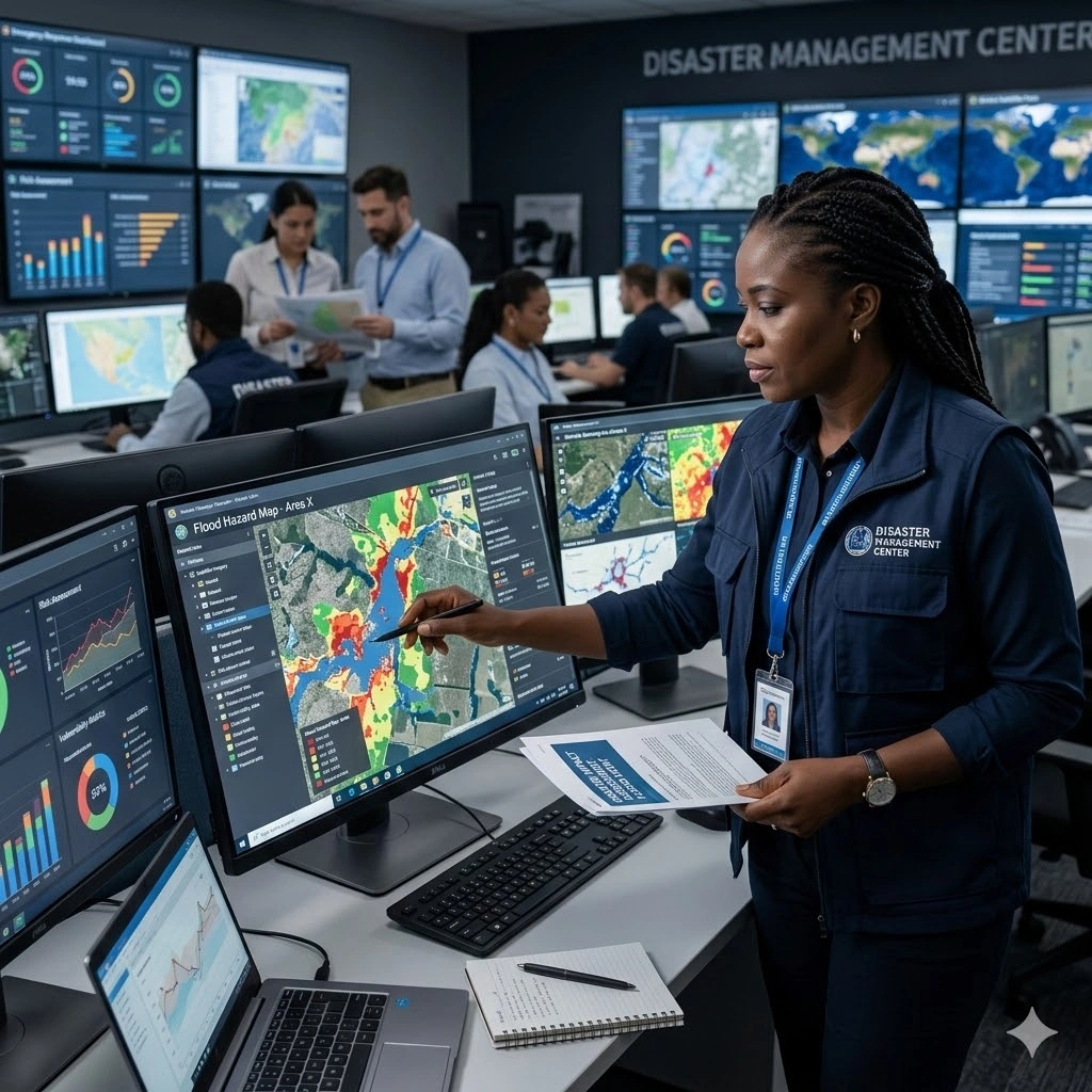
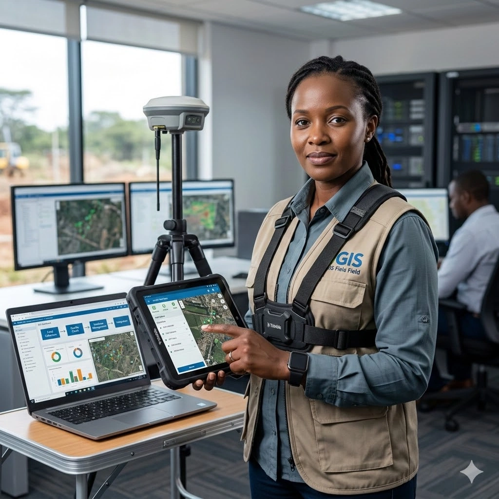
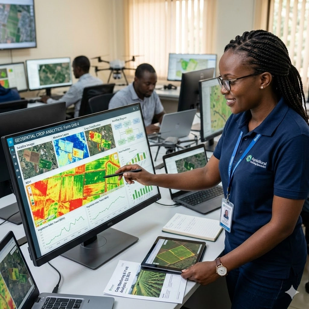
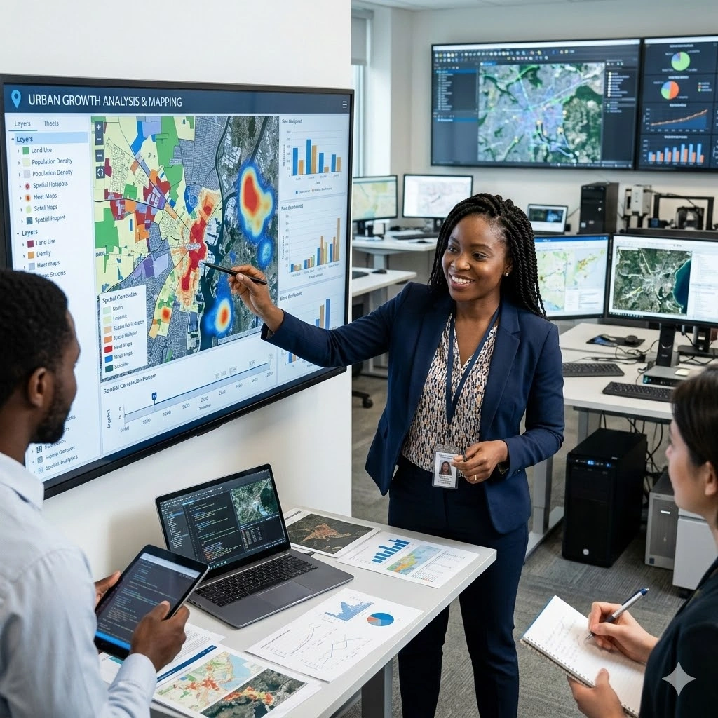
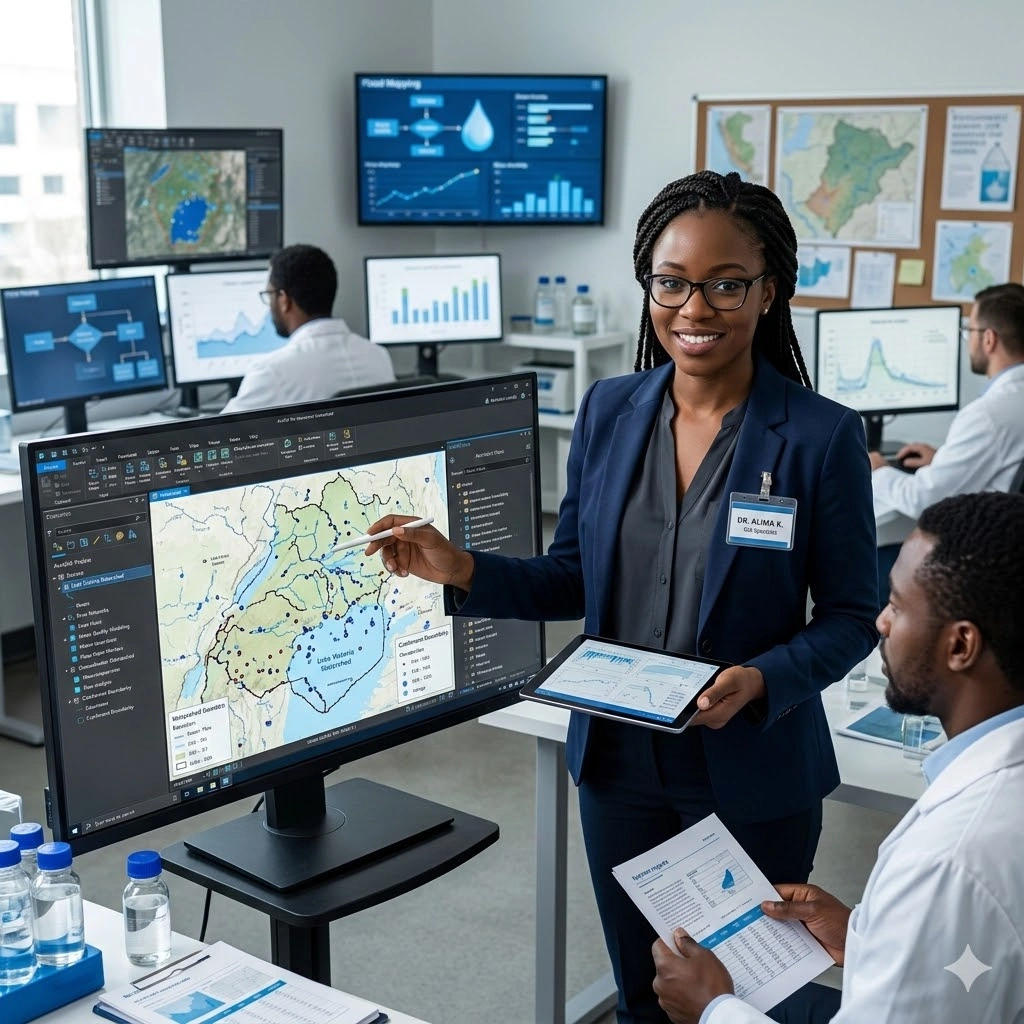
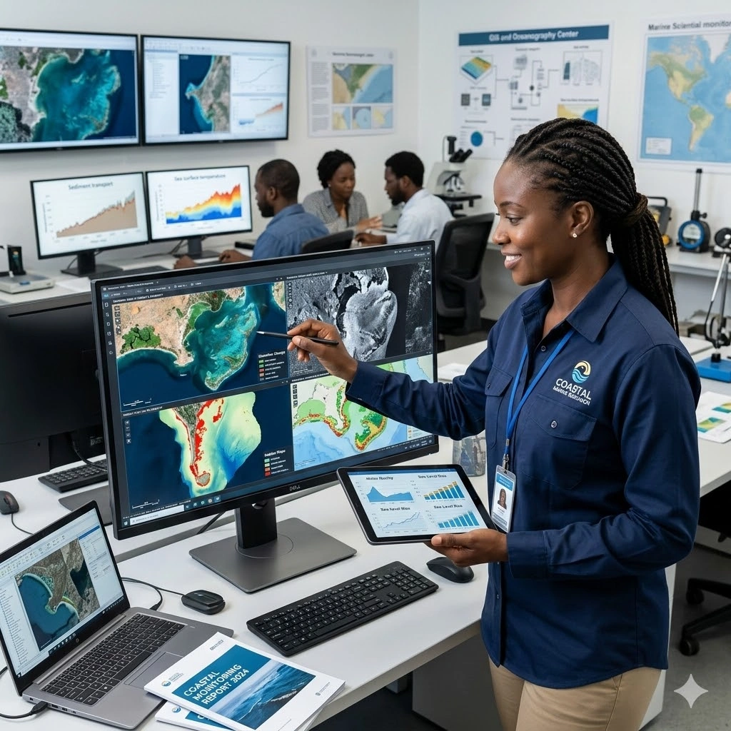
Implement geographic information systems and remote sensing technologies that enable spatial analysis, location intelligence, and geographic data utilization for informed decision-making across sectors. Our geospatial programs provide training in spatial data analysis, mapping technologies, remote sensing applications, and location-based services for spatial intelligence. Learn to conduct spatial analysis, develop mapping solutions, implement remote sensing systems, and apply geographic intelligence to organi...
Implement geographic information systems and remote sensing technologies that enable spatial analysis, location intelligence, and geographic data utilization for informed decision-making across sectors.
Our geospatial programs provide training in spatial data analysis, mapping technologies, remote sensing applications, and location-based services for spatial intelligence.
Learn to conduct spatial analysis, develop mapping solutions, implement remote sensing systems, and apply geographic intelligence to organizational challenges.
Available Courses
Choose from our selection of Geospatial Technologies and Remote Sensing Courses courses.


Ready to start your learning journey?
View scheduled training dates and book your preferred session.

SECURE YOUR COMPETITIVE ADVANTAGE TODAY.
Subscribe to the Premier Intel newsletter for weekly market insights and training updates.
About Us


ForElite Training Institute is a global institutional capacity-building and EdTech partner that empowers organizations and professionals with transformative, high-impact learning.
Explore
Mastery Tracks
More Mastery Tracks
