Training on Geographic Information Systems (GIS) for Public Health and Epidemiology

Course Overview
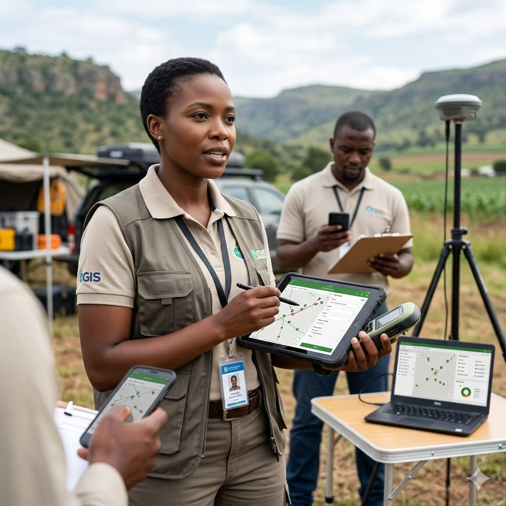
This course equips participants with the knowledge and practical skills to leverage Geographic Information Systems (GIS) in public health and epidemiology. Participants will learn how to collect, manage, and analyze spatial health data to identify disease patterns, monitor outbreaks, and assess healthcare accessibility. The training emphasizes using GIS for data-driven decision-making and evidence-based planning to improve public health interventions.
Through hands-on exercises and real-world case studies, participants will explore spatial analysis techniques, mapping of disease hotspots, visualization of epidemiological data, and integration of GIS with health information systems. The course also covers the use of GIS for resource allocation, risk mapping, and planning targeted interventions to optimize health outcomes and strengthen health systems.
By the end of this 10-day program, participants will be able to design, implement, and interpret GIS-based health analyses, create compelling visualizations for stakeholders, and apply geospatial insights to inform public health policies, improve disease surveillance, and support strategic health program planning. Attendees will also gain skills in leveraging GIS tools for monitoring, evaluation, and reporting within public health contexts.
Duration
10 Days
Who Should Attend
• Public health professionals and epidemiologists
• Health program managers and planners
• Researchers and data analysts in health and development sectors
• Monitoring and evaluation (M&E) specialists
• Policy makers and government health officers
• NGOs and international organizations working on health projects
Course Impact
Organizational Impact
-
Stronger capacity to track, monitor, and respond to disease outbreaks
-
Improved planning and allocation of health resources and services
-
Enhanced ability to demonstrate impact through spatial data visualization
-
Evidence-based decision-making in health policy and programming
Individual Impact
-
Practical skills in GIS tools for public health and epidemiology
-
Improved ability to interpret spatial data for health planning
-
Stronger analytical capacity in disease mapping and outbreak response
-
Increased professional competitiveness in health and development fields
Course Objectives
By the end of the training, participants will be able to:
-
Understand the role of GIS in public health and epidemiology.
-
Collect, manage, and analyze spatial health data.
-
Create maps to visualize disease distribution and health services.
-
Apply spatial analysis to track outbreaks and assess risk factors.
-
Integrate GIS into health program planning, monitoring, and evaluation.
-
Communicate findings effectively through spatial reports and dashboards.
Course Outline
Module 1: Introduction to GIS and Public Health
-
Key GIS concepts and applications in health
-
The role of spatial thinking in epidemiology
-
Case Study: WHO’s use of GIS in mapping malaria prevalence in Sub-Saharan Africa
Module 2: Fundamentals of Spatial Data
-
Types and sources of spatial data (raster, vector, GPS, surveys)
-
Coordinate systems and projections
-
Collecting and cleaning health-related spatial data
-
Case Study: Using satellite imagery to track environmental risk factors for dengue
Module 3: GIS Software Tools and Basics
-
Overview of ArcGIS, QGIS, and open-source tools
-
Importing and managing health data
-
Practical exercise: Creating a base map of health facilities
Module 4: Mapping and Visualization Techniques
-
Principles of effective health map design
-
Symbolization, labeling, and thematic mapping
-
Practical exercise: Mapping child immunization coverage
-
Case Study: Polio eradication campaigns supported by GIS mapping in Nigeria
Module 5: Spatial Analysis for Epidemiology
-
Disease hotspot and cluster detection
-
Proximity analysis for health services
-
Case Study: Cholera outbreak mapping and containment in Haiti
-
Exercise: Identifying clusters in a simulated outbreak dataset
Module 6: GIS in Disease Surveillance and Outbreak Response
-
Linking GIS with surveillance systems
-
Real-time disease mapping and dashboards
-
Case Study: GIS role in the COVID-19 Johns Hopkins global dashboard
-
Exercise: Mapping an epidemic curve spatially
Module 7: Health Services Accessibility and Resource Allocation
-
Mapping service coverage and underserved areas
-
Travel time analysis for accessing care
-
Case Study: Ebola treatment center placement in Sierra Leone and Liberia
-
Simulation: Allocating resources during a regional outbreak
Module 8: Integrating GIS with Public Health Data Systems
-
Combining GIS with survey and census data
-
Linking GIS with monitoring and evaluation frameworks
-
Exercise: Building an integrated health indicator map
-
Case Study: UNICEF’s use of GIS to monitor maternal and child health in East Africa
Module 9: Communicating Results with GIS
-
Turning maps into actionable information for decision-makers
-
Dashboards, reports, and advocacy tools
-
Group exercise: Preparing a GIS-based policy brief
-
Case Study: Using GIS maps for HIV/AIDS program advocacy in South Africa
Module 10: Capstone Project and Action Planning
-
Participants design a GIS-based health project from data collection to reporting
-
Presentations of projects with peer and facilitator feedback
-
Developing individual action plans for applying GIS in participants’ organizations
-
Case Study: Integrating GIS into a malaria elimination strategy in Zanzibar
Prerequisites
Course Administration and Investment
Whether you join us in a physical boardroom or through our virtual campus, we’ve designed every administrative detail for a seamless, professional experience.
Our fees are all inclusive during course hours.
- Covered: High level tuition, comprehensive materials (digital + physical), mid morning and afternoon refreshments, a full executive lunch, and any scheduled study visits or site tours.
- Not covered: Travel, visa fees, medical/travel insurance, personal expenses, and accommodation.
From registration to the classroom, we keep things clear and efficient.
- Registration: Find your preferred schedule, click “Register,” complete the form, and submit. Need help? Talk to us directly.
- Pre Course Assessment: After registering, you’ll receive a diagnostic survey to help facilitators tailor content to your needs.
- Joining Instructions: Once fees are paid, you’ll receive a Delegate Welcome Pack at least 7 days before the start date (venue maps, virtual access links, and pre reading materials).
We provide premium environments optimized for adult learning and networking.
- Physical Venues: Premium 4 star and 5 star executive boardrooms across our global host cities, with high tier catering.
- Virtual Instructor Led Training (VILT): High definition, interactive platforms featuring breakout rooms, digital whiteboards, and live technical support.
- NITA and Regulatory Compliance: Administrative processes align with national training authorities.
You’ll leave with tools that extend the course value far beyond the final day.
- ForElite Learner Kit: A physical or digital course manual, proprietary templates, and a curated toolkit of industry standard SOPs.
- On Site / In App Support: Dedicated course coordinators handle technical, dietary, or logistical inquiries in real time.
We validate your commitment to excellence with internationally recognized credentials.
- Attendance Tracking: Rigorous daily logging to meet corporate and regulatory accreditation requirements.
- Verifiable Credentials: Upon successful completion, you receive a certificate of course completion.
Our relationship with you doesn’t end when the course closes.
- Feedback & ROI Reporting: Detailed post course evaluations to give sponsors clear insight into training impact.
- Alumni Network Access: Every delegate joins the ForElite Alumni Network for ongoing peer to peer learning and exclusive webinars.
When is the next intake?
UpdatedWe offer customized training solutions tailored to your organization's specific needs (location, dates, content and team size).
Talk to us and we’ll guide you on the best schedule and format for your team.
Training Methodology
We turn knowledge into results. Using our P.E.A.K. Framework (Prepare, Engage, Apply, Know), every participant leaves with practical skills they can use immediately.
Proven Impact
In the last 12 months, over 1,200 professionals have applied the P.E.A.K. Framework to reduce onboarding time by an average of 30% and accelerate project delivery across 14 industries.
The outcome: Participants don’t just learn. They gain the tools, confidence, and strategy to drive measurable impact.
Tailor-Made Training and Customization
Off-the-shelf solutions rarely fit perfectly. At ForElite Training Institute, we built our Tailor-Made Training (TMT) service to embed our expertise directly into your unique strategy, culture, and operations.
We replace generic examples with scenarios from your sector (e.g., public sector, NGOs, financial services, or logistics).
Choose a format that fits your operations: intensive 3 day bootcamps or weekly sessions that minimize work disruption.
We teach directly from your actual templates, brand guidelines, or financial reports.
Host your bespoke training in any of our 21+ global cities, or we'll send facilitators to your office anywhere in the world.
Course Reviews
Share your experience to help others choose the right course.
Leave a Review
Your review will be published after verification.
Most Recent Reviews
Showing the most recent reviews.
Training on Geographic Information Systems (GIS) for Public Health and Epidemiology FAQs
Quick answers to common questions about this course
You May Also Be Interested In
Explore more courses in this category
 Foundation
 Intermediate
 Advanced
 Intermediate
Foundation
Intermediate
Advanced
Intermediate
Intermediate
Foundation
Intermediate
Advanced
Intermediate

SECURE YOUR COMPETITIVE ADVANTAGE TODAY.
Subscribe to the Premier Intel newsletter for weekly market insights and training updates.
About Us


ForElite Training Institute is a global institutional capacity-building and EdTech partner that empowers organizations and professionals with transformative, high-impact learning.
Explore
Mastery Tracks
More Mastery Tracks
