Training on Remote Sensing Image Acquisition: Methods and Technologies

Course Overview
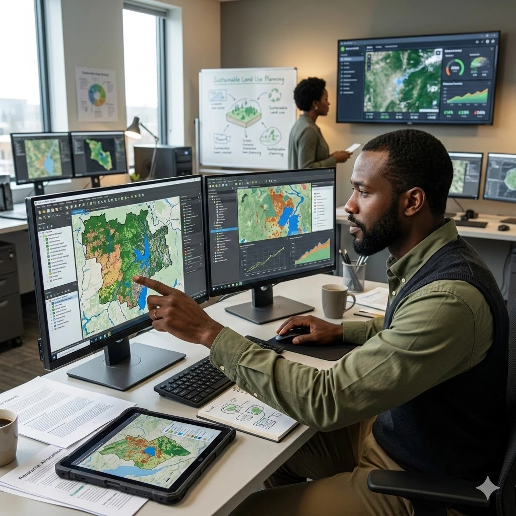
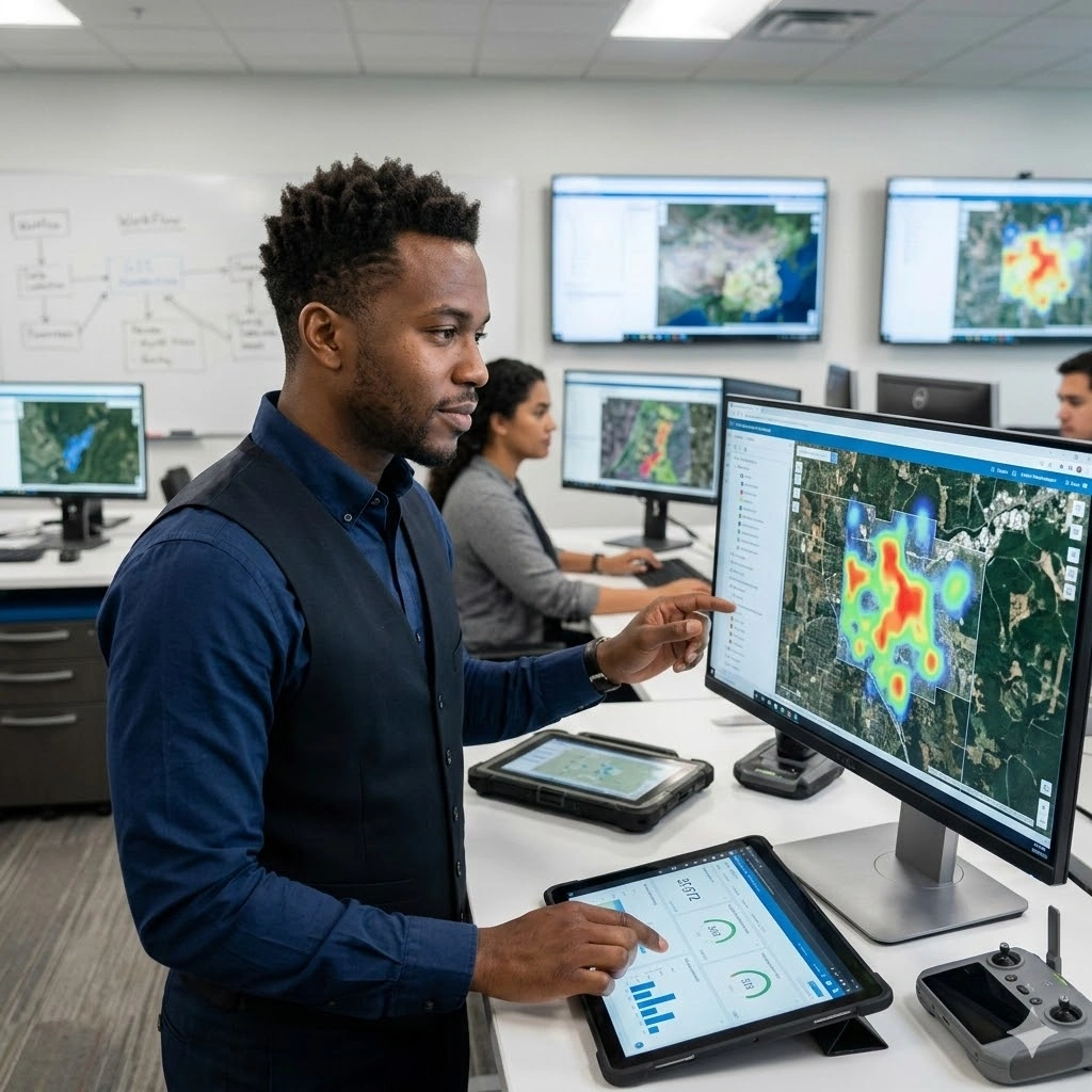
Remote Sensing Imagery and Data Acquisition equips professionals with practical and strategic knowledge for collecting, processing, and using remote sensing data in mapping, environmental monitoring, and resource management. Participants will explore the fundamentals of image acquisition, sensor technologies, platforms, and data quality considerations, enabling informed decisions on data collection strategies tailored to project needs.
The training covers selecting appropriate acquisition methods, integrating data from multiple sources, ensuring data quality, and preparing datasets for analysis. Participants will gain hands-on experience with practical workflows, from data capture to preprocessing and integration, enhancing operational capabilities in geospatial projects. Emphasis is placed on leveraging remote sensing data for actionable insights in planning, monitoring, and decision-making.
Through case studies and applied exercises, attendees will learn to optimize remote sensing workflows, ensure reliable and accurate datasets, and support organizational objectives in environmental management, urban planning, and resource analysis. By the end of the 5-day course, participants will be able to implement best practices in remote sensing data acquisition and effectively contribute to geospatial analysis and decision-making initiatives.
Duration
5 Days
Who Should Attend
• GIS and remote sensing specialists
• Environmental and natural resource analysts
• Urban and regional planners
• Surveyors and mapping professionals
• Data scientists and geospatial analysts
• Policy advisors and decision-makers using spatial data
Course Impact
Personal Impact
-
Enhances technical skills in remote sensing data acquisition and interpretation
-
Builds expertise in selecting and using appropriate sensors and technologies
-
Improves decision-making and analytical capabilities in spatial projects
Organizational Impact
-
Strengthens data-driven planning and monitoring
-
Improves quality and reliability of spatial datasets
-
Supports efficient resource management, environmental monitoring, and operational decision-making
Course Objectives
By the end of this course, participants will be able to:
-
Understand principles of remote sensing and image acquisition
-
Identify and use different types of sensors and platforms (satellite, UAV, aerial)
-
Evaluate data quality, resolution, and suitability for various applications
-
Integrate multi-source remote sensing datasets for analysis
-
Implement best practices for remote sensing project planning and execution
Course Outline
Module 1: Introduction to Remote Sensing and Image Acquisition
-
Fundamentals of remote sensing and electromagnetic spectrum
-
Types of remote sensing: passive vs active
-
Overview of platforms: satellites, UAVs, aerial imagery
-
Data acquisition workflow and mission planning
-
Case Study: Satellite imagery acquisition for environmental monitoring
-
Practical Exercise: Assessing data requirements for a specific project
Module 2: Sensors and Platforms for Image Acquisition
-
Optical, radar, LiDAR, and multispectral sensors
-
Satellite constellations and UAV systems
-
Resolution types: spatial, spectral, temporal, radiometric
-
Platform selection criteria for different applications
-
Case Study: UAV imagery for precision agriculture
-
Practical Exercise: Choose sensors and platforms for a hypothetical mapping project
Module 3: Image Quality and Preprocessing
-
Factors affecting image quality: atmospheric, geometric, radiometric
-
Calibration and correction techniques
-
Data preprocessing for analysis
-
Data formats, storage, and metadata considerations
-
Case Study: Preprocessing satellite imagery for urban analysis
-
Practical Exercise: Conduct geometric and radiometric corrections on sample images
Module 4: Multi-Source Data Integration
-
Combining imagery from different sensors and platforms
-
Data fusion techniques and interoperability
-
Managing spatial and temporal discrepancies
-
Applications in environmental monitoring, disaster management, and planning
-
Case Study: Integrating optical and radar imagery for flood assessment
-
Practical Exercise: Fuse multi-source data to create a composite map
Module 5: Planning and Implementing Remote Sensing Projects
-
Project planning and workflow management
-
Cost, time, and resource considerations
-
Data acquisition ethics, licensing, and compliance
-
Strategic applications for decision-making and reporting
-
Case Study: Planning a regional land-use monitoring project
-
Practical Exercise: Develop a remote sensing acquisition plan for a chosen application
Prerequisites
Course Administration and Investment
Whether you join us in a physical boardroom or through our virtual campus, we’ve designed every administrative detail for a seamless, professional experience.
Our fees are all inclusive during course hours.
- Covered: High level tuition, comprehensive materials (digital + physical), mid morning and afternoon refreshments, a full executive lunch, and any scheduled study visits or site tours.
- Not covered: Travel, visa fees, medical/travel insurance, personal expenses, and accommodation.
From registration to the classroom, we keep things clear and efficient.
- Registration: Find your preferred schedule, click “Register,” complete the form, and submit. Need help? Talk to us directly.
- Pre Course Assessment: After registering, you’ll receive a diagnostic survey to help facilitators tailor content to your needs.
- Joining Instructions: Once fees are paid, you’ll receive a Delegate Welcome Pack at least 7 days before the start date (venue maps, virtual access links, and pre reading materials).
We provide premium environments optimized for adult learning and networking.
- Physical Venues: Premium 4 star and 5 star executive boardrooms across our global host cities, with high tier catering.
- Virtual Instructor Led Training (VILT): High definition, interactive platforms featuring breakout rooms, digital whiteboards, and live technical support.
- NITA and Regulatory Compliance: Administrative processes align with national training authorities.
You’ll leave with tools that extend the course value far beyond the final day.
- ForElite Learner Kit: A physical or digital course manual, proprietary templates, and a curated toolkit of industry standard SOPs.
- On Site / In App Support: Dedicated course coordinators handle technical, dietary, or logistical inquiries in real time.
We validate your commitment to excellence with internationally recognized credentials.
- Attendance Tracking: Rigorous daily logging to meet corporate and regulatory accreditation requirements.
- Verifiable Credentials: Upon successful completion, you receive a certificate of course completion.
Our relationship with you doesn’t end when the course closes.
- Feedback & ROI Reporting: Detailed post course evaluations to give sponsors clear insight into training impact.
- Alumni Network Access: Every delegate joins the ForElite Alumni Network for ongoing peer to peer learning and exclusive webinars.
When is the next intake?
UpdatedWe offer customized training solutions tailored to your organization's specific needs (location, dates, content and team size).
Talk to us and we’ll guide you on the best schedule and format for your team.
Training Methodology
We turn knowledge into results. Using our P.E.A.K. Framework (Prepare, Engage, Apply, Know), every participant leaves with practical skills they can use immediately.
Proven Impact
In the last 12 months, over 1,200 professionals have applied the P.E.A.K. Framework to reduce onboarding time by an average of 30% and accelerate project delivery across 14 industries.
The outcome: Participants don’t just learn. They gain the tools, confidence, and strategy to drive measurable impact.
Tailor-Made Training and Customization
Off-the-shelf solutions rarely fit perfectly. At ForElite Training Institute, we built our Tailor-Made Training (TMT) service to embed our expertise directly into your unique strategy, culture, and operations.
We replace generic examples with scenarios from your sector (e.g., public sector, NGOs, financial services, or logistics).
Choose a format that fits your operations: intensive 3 day bootcamps or weekly sessions that minimize work disruption.
We teach directly from your actual templates, brand guidelines, or financial reports.
Host your bespoke training in any of our 21+ global cities, or we'll send facilitators to your office anywhere in the world.
Course Reviews
Share your experience to help others choose the right course.
Leave a Review
Your review will be published after verification.
Most Recent Reviews
Showing the most recent reviews.
Training on Remote Sensing Image Acquisition: Methods and Technologies FAQs
Quick answers to common questions about this course
You May Also Be Interested In
Explore more courses in this category
 Intermediate
 Intermediate
 Intermediate
 Advanced
Intermediate
Intermediate
Intermediate
Advanced
Advanced
Intermediate
Intermediate
Intermediate
Advanced

SECURE YOUR COMPETITIVE ADVANTAGE TODAY.
Subscribe to the Premier Intel newsletter for weekly market insights and training updates.
About Us


ForElite Training Institute is a global institutional capacity-building and EdTech partner that empowers organizations and professionals with transformative, high-impact learning.
Explore
Mastery Tracks
More Mastery Tracks
