Training on Drone Mapping, Photogrammetry, and Advanced GIS Integration
Course Overview
Drone Mapping in Geographic Information Systems (GIS) has transformed the way organizations collect, analyze, and utilize spatial data. By combining unmanned aerial vehicles (UAVs), photogrammetry, remote sensing technologies, and GIS platforms, organizations can generate highly accurate maps, 3D models, orthomosaics, digital elevation models, and geospatial intelligence faster and more cost-effectively than traditional surveying methods.
Governments, engineering firms, environmental agencies, humanitarian organizations, urban planners, agricultural enterprises, mining companies, infrastructure developers, and disaster management teams increasingly rely on drone-based GIS solutions to improve planning, monitoring, resource management, and operational decision-making.
As drone technologies continue to evolve, GIS professionals are expected to possess competencies in flight planning, aerial data acquisition, image processing, photogrammetry, spatial analysis, data quality management, regulatory compliance, and integration of drone-derived products into GIS workflows. Advances in artificial intelligence, machine learning, cloud GIS, digital twins, and real-time geospatial analytics are further expanding the applications of drone mapping across sectors.
This course provides participants with practical and technical expertise in drone mapping and GIS integration. Participants will learn how to plan drone missions, collect aerial imagery, process datasets using photogrammetry software, generate GIS-ready products, perform spatial analysis, and apply drone mapping solutions to real-world projects. Through hands-on exercises, case studies, mapping projects, and applied workflows, participants will develop the skills required to implement professional drone mapping operations.
Duration
10 Days
Who Should Attend
- GIS analysts and GIS specialists
- Surveyors and geomatics professionals
- Urban and regional planners
- Environmental management professionals
- Agriculture and precision farming specialists
- Infrastructure and engineering professionals
- Disaster risk management practitioners
- Natural resource management officers
- Mapping and remote sensing specialists
- Humanitarian and development professionals
- Drone operators and UAV technicians
- Researchers and geospatial consultants
Course Impact
Individual Impact
- Gain practical skills in UAV mapping operations
- Strengthen GIS and geospatial analysis capabilities
- Improve aerial survey planning and execution competencies
- Enhance technical expertise in photogrammetry and remote sensing
- Develop professional mapping and spatial data management skills
- Increase career opportunities in the geospatial industry
Organizational Impact
- Improve spatial data collection efficiency
- Reduce surveying and mapping costs
- Enhance infrastructure planning and monitoring
- Strengthen environmental and resource management
- Improve disaster preparedness and emergency response
- Support data-driven planning and decision-making
Course Objectives
By the end of this course, participants will be able to:
- Understand the fundamentals of drone mapping and GIS integration
- Plan and execute professional drone mapping missions
- Apply photogrammetry principles to aerial imagery processing
- Generate orthomosaics, DEMs, DSMs, and 3D models
- Integrate drone-derived data into GIS platforms
- Conduct spatial analysis using drone-generated datasets
- Ensure data accuracy, quality assurance, and validation
- Apply drone mapping in agriculture, infrastructure, environmental management, and disaster response
- Understand UAV regulations, safety standards, and ethical considerations
- Utilize AI and emerging technologies in drone-based geospatial analysis
Course Outline
Module 1: Foundations of Drone Mapping and GIS
- Introduction to drone mapping technologies
- Fundamentals of GIS and geospatial data
- UAV platforms and sensor technologies
- Applications of drone mapping across sectors
- Coordinate systems, projections, and spatial referencing
- Drone mapping workflows and project lifecycle
- Exercise: Identifying suitable drone mapping applications
- Case Study: Drone mapping for infrastructure development
Module 2: UAV Systems, Flight Planning, and Mission Design
- Drone components and operational principles
- Types of UAVs and sensor payloads
- Flight planning methodologies
- Ground control points (GCPs) and accuracy requirements
- Mission parameters and survey design
- UAV safety protocols and risk management
- Exercise: Designing a drone mapping mission
- Case Study: Large-area aerial survey planning
Module 3: Drone Regulations, Safety, and Ethical Considerations
- National and international UAV regulations
- Airspace classifications and permissions
- Safety management systems
- Data privacy and ethical considerations
- Operational risk assessment
- Compliance and documentation requirements
- Exercise: Developing a UAV compliance checklist
- Case Study: Regulatory challenges in drone operations
Module 4: Aerial Data Collection and Field Operations
- Image acquisition techniques
- Sensor calibration and data quality control
- Managing environmental and weather conditions
- Ground control and field survey procedures
- Data collection best practices
- Troubleshooting field operations
- Exercise: Simulated aerial data collection workflow
- Case Study: Drone surveys in challenging environments
Module 5: Photogrammetry and Image Processing
- Principles of photogrammetry
- Image alignment and point cloud generation
- Orthomosaic creation
- Digital Surface Models (DSMs)
- Digital Elevation Models (DEMs)
- Quality assurance and error correction
- Exercise: Processing drone imagery datasets
- Case Study: High-accuracy mapping project
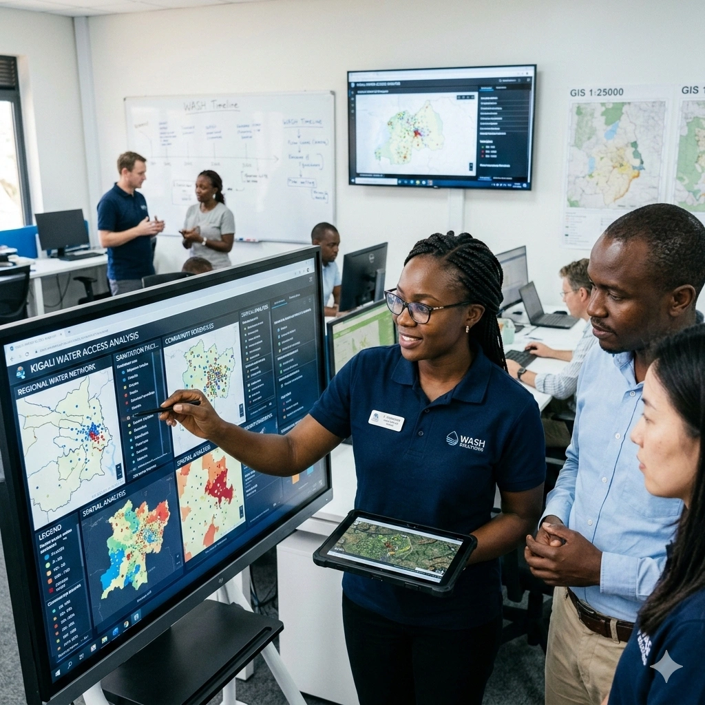
Module 6: GIS Integration and Spatial Data Management
- Importing drone products into GIS software
- Spatial databases and geodatabases
- Data management and metadata standards
- Raster and vector data integration
- Georeferencing and spatial accuracy assessment
- Data sharing and interoperability
- Exercise: Building a GIS project using drone data
- Case Study: Enterprise GIS integration
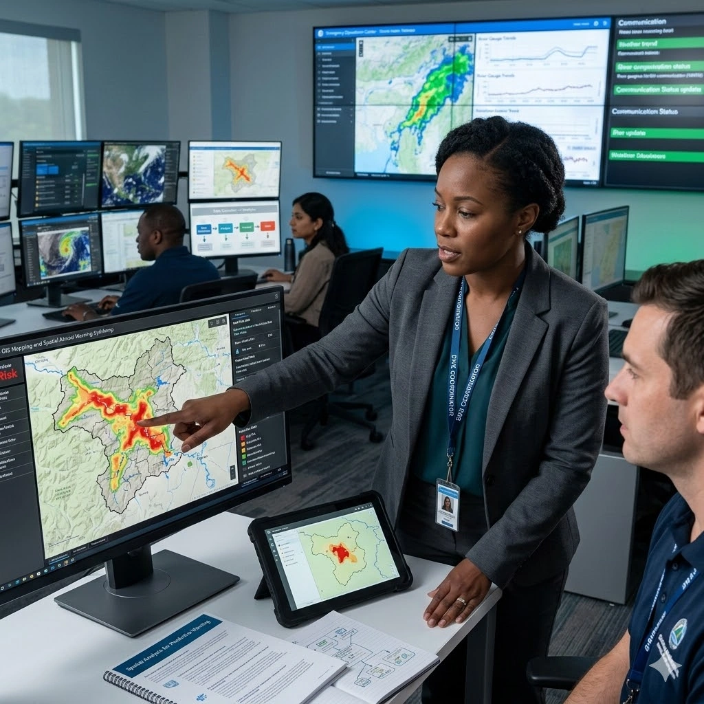
Module 7: Spatial Analysis Using Drone-Derived Data
- Terrain analysis and surface modeling
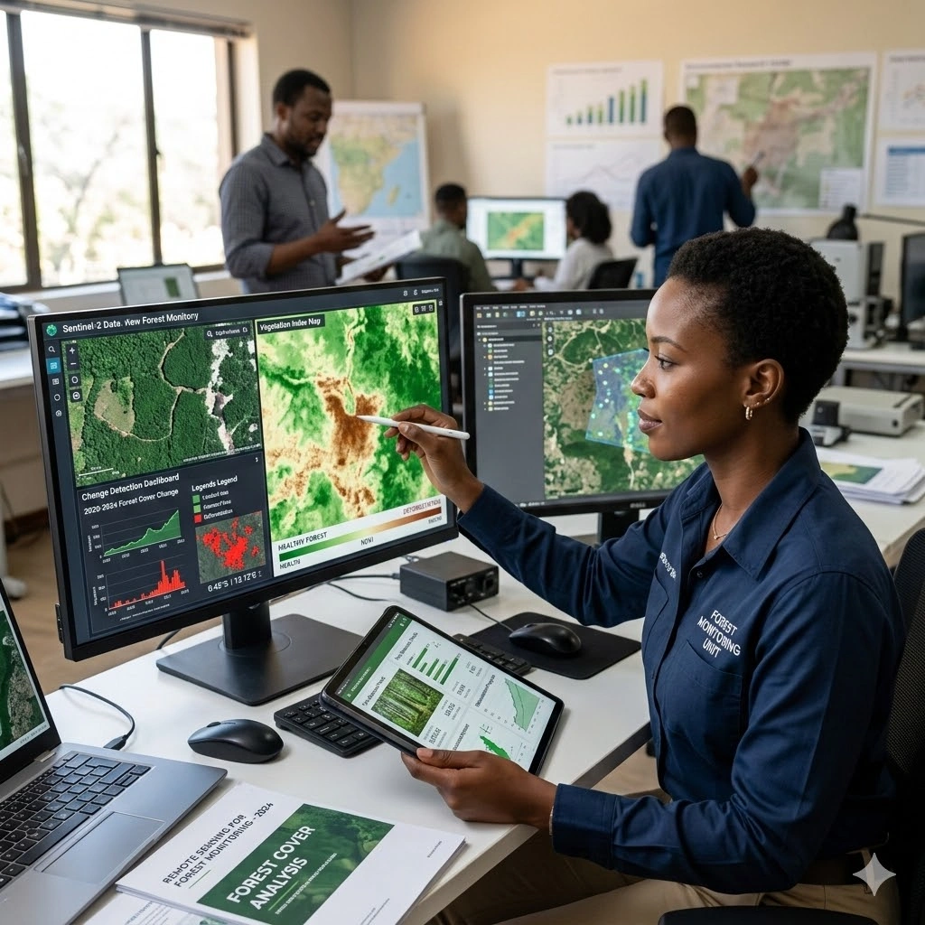
- Change detection and monitoring
- Land-use and land-cover analysis
- Volume calculations and measurements
- Hydrological and environmental analysis
- Infrastructure and asset mapping
- Exercise: Conducting GIS analysis using drone datasets
- Case Study: Environmental monitoring applications
Module 8: Industry Applications of Drone Mapping
- Precision agriculture and crop monitoring
- Mining and quarry management
- Construction and infrastructure monitoring
- Environmental conservation and forestry
- Disaster management and humanitarian response
- Urban planning and smart city applications
- Exercise: Sector-specific drone mapping project
- Case Study: Multi-sector GIS implementation
Module 9: AI, Machine Learning, and Advanced Drone Analytics
- Artificial intelligence in geospatial analysis
- Automated feature extraction
- Object detection and classification
- Machine learning for image interpretation
- Cloud GIS and real-time mapping systems
- Digital twins and predictive spatial analytics
- Exercise: AI-assisted image classification workflow
- Case Study: Intelligent drone mapping systems
Module 10: Enterprise Drone Mapping and Future Trends
- Designing organizational drone programs
- Managing drone mapping projects
- Data governance and cybersecurity
- Procurement and technology selection
- Emerging drone and GIS technologies
- Future trends in autonomous mapping systems
- Capstone Exercise: Develop a complete drone mapping project plan
- Case Study: Enterprise-wide geospatial transformation
Prerequisites
Course Administration and Investment
Whether you join us in a physical boardroom or through our virtual campus, we’ve designed every administrative detail for a seamless, professional experience.
Our fees are all inclusive during course hours.
- Covered: High level tuition, comprehensive materials (digital + physical), mid morning and afternoon refreshments, a full executive lunch, and any scheduled study visits or site tours.
- Not covered: Travel, visa fees, medical/travel insurance, personal expenses, and accommodation.
From registration to the classroom, we keep things clear and efficient.
- Registration: Find your preferred schedule, click “Register,” complete the form, and submit. Need help? Talk to us directly.
- Pre Course Assessment: After registering, you’ll receive a diagnostic survey to help facilitators tailor content to your needs.
- Joining Instructions: Once fees are paid, you’ll receive a Delegate Welcome Pack at least 7 days before the start date (venue maps, virtual access links, and pre reading materials).
We provide premium environments optimized for adult learning and networking.
- Physical Venues: Premium 4 star and 5 star executive boardrooms across our global host cities, with high tier catering.
- Virtual Instructor Led Training (VILT): High definition, interactive platforms featuring breakout rooms, digital whiteboards, and live technical support.
- NITA and Regulatory Compliance: Administrative processes align with national training authorities.
You’ll leave with tools that extend the course value far beyond the final day.
- ForElite Learner Kit: A physical or digital course manual, proprietary templates, and a curated toolkit of industry standard SOPs.
- On Site / In App Support: Dedicated course coordinators handle technical, dietary, or logistical inquiries in real time.
We validate your commitment to excellence with internationally recognized credentials.
- Attendance Tracking: Rigorous daily logging to meet corporate and regulatory accreditation requirements.
- Verifiable Credentials: Upon successful completion, you receive a certificate of course completion.
Our relationship with you doesn’t end when the course closes.
- Feedback & ROI Reporting: Detailed post course evaluations to give sponsors clear insight into training impact.
- Alumni Network Access: Every delegate joins the ForElite Alumni Network for ongoing peer to peer learning and exclusive webinars.
When is the next intake?
UpdatedWe offer customized training solutions tailored to your organization's specific needs (location, dates, content and team size).
Talk to us and we’ll guide you on the best schedule and format for your team.
Training Methodology
We turn knowledge into results. Using our P.E.A.K. Framework (Prepare, Engage, Apply, Know), every participant leaves with practical skills they can use immediately.
Proven Impact
In the last 12 months, over 1,200 professionals have applied the P.E.A.K. Framework to reduce onboarding time by an average of 30% and accelerate project delivery across 14 industries.
The outcome: Participants don’t just learn. They gain the tools, confidence, and strategy to drive measurable impact.
Tailor-Made Training and Customization
Off-the-shelf solutions rarely fit perfectly. At ForElite Training Institute, we built our Tailor-Made Training (TMT) service to embed our expertise directly into your unique strategy, culture, and operations.
We replace generic examples with scenarios from your sector (e.g., public sector, NGOs, financial services, or logistics).
Choose a format that fits your operations: intensive 3 day bootcamps or weekly sessions that minimize work disruption.
We teach directly from your actual templates, brand guidelines, or financial reports.
Host your bespoke training in any of our 21+ global cities, or we'll send facilitators to your office anywhere in the world.
Course Reviews
Share your experience to help others choose the right course.
Leave a Review
Your review will be published after verification.
Most Recent Reviews
Showing the most recent reviews.
Training on Drone Mapping, Photogrammetry, and Advanced GIS Integration FAQs
Quick answers to common questions about this course
You May Also Be Interested In
Explore more courses in this category
 Intermediate
 Intermediate
 Intermediate
 Intermediate
Intermediate
Intermediate
Intermediate
Intermediate
Intermediate
Intermediate
Intermediate
Intermediate

SECURE YOUR COMPETITIVE ADVANTAGE TODAY.
Subscribe to the Premier Intel newsletter for weekly market insights and training updates.
About Us


ForElite Training Institute is a global institutional capacity-building and EdTech partner that empowers organizations and professionals with transformative, high-impact learning.